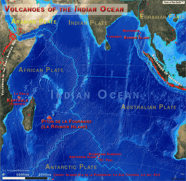
Map of the Indian Ocean, its tectonic plates and active volcanoes (Basemap created UNAVCO Voyager map tool feat. Face of the EarthTM)
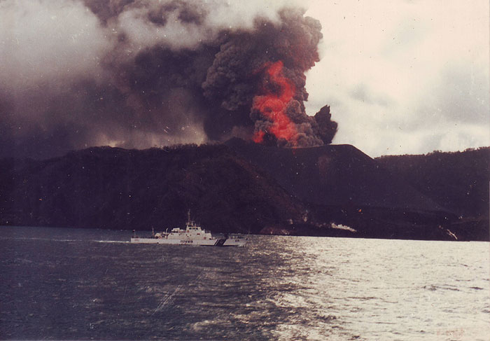
There are relatively few volcanoes in the Indian Ocean, most natably the hot-spot volcanoes of Piton de la Fournaise on La Réunion island and Karthala volcano on the Comores.
The first reported eruption of the region was from a written account of an eruption of Karthala volcano between the 10th and 12th century, the next recorded eruption was from the region's most active volcano, Piton de la Fournaise, on the island of Reunion, in 1640. Réunion has recorded more than 150 eruptions since then.
Réunion was claimed by France around 1662 and has been French virtually continuously since then. French settlers began to move in from 1715, and today, 600,000 people live on the 2,510 km2 island. La Réunion is one of France's overseas departments. Piton de la Fournaise volcano is being monitored by one of the world's leading observatories, established in 1980.
The Comoros islands were controlled by Moslem Sultans until occupied by the French in the latter half of the 19th century. After the early eruption mentioned above (1050 AD ± 150) no further reports are known until the early 19th century. The Comoros became a French overseas territory in 1947 and declared independence in 1975.
---
Source: adapted from GVP/Smithsonian Institution